Ok, it’s over. We survived. While the storm hit us hardest during the night, I could only go and watch it once the day had come again. Visibly I was not the only rubbernecker on the shoreline either.
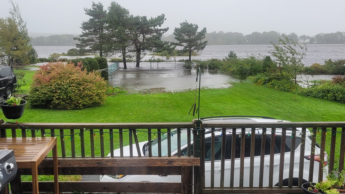
Hurricane Lee was born off the coast of Africa and rapidly gained strength. The weather models could barely agree on its path until the path became closer to “home”. The result of this was anxiety and trepidation for many people on the US east coast and Atlantic Canada.
Such is the news of today. The more alarming, the better, it seems. While models can be a very helpful tool, they are in some cases not better than Madame Soleil’s crystal ball ![]() .
.

Barely flooded
Add the mass media into the mix that routinely “misunderstand” the data of those models and you have a recipe for panic and disruption before things even start. Listening to the people that do understand the models and their data is boring and doesn’t gain them any audience, so that’s not a good strategy for the media.
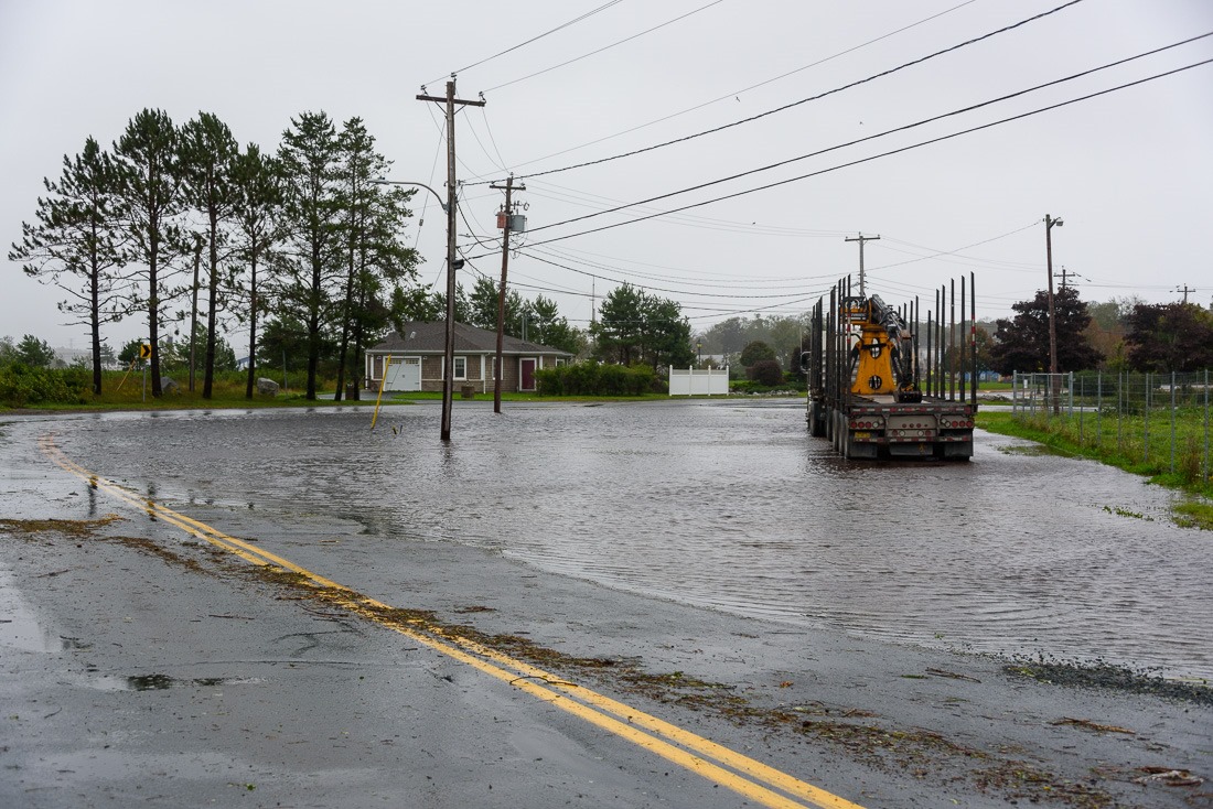
Downtown Liverpool
So, back to rubbernecking on the shore. I was definitely not the only one. On a road where I usually drive all alone, there were dozens of cars.
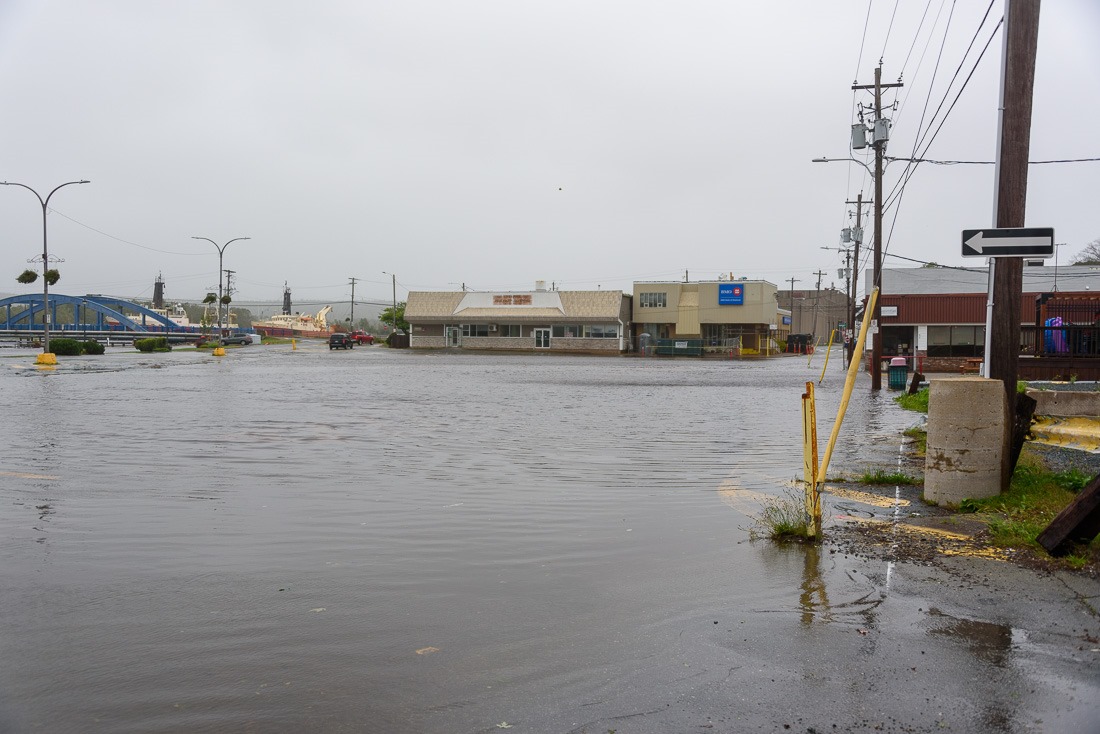
Downtown Liverpool
My first stop was floodable downtown Liverpool. It did not disappoint, although the depth of the flood was “disappointing”. Despite news programs like this one, to show that the town is sinking, flooding and doomed to disappear (they warn of 16cm sinking in a century, so 1.6mm in a year). The flood with the storm surge of Hurricane Lee amounted to a few inches. Many cars didn’t even hesitate to go through it, even if they didn’t use the parking lot for its intended purpose ![]() .
.
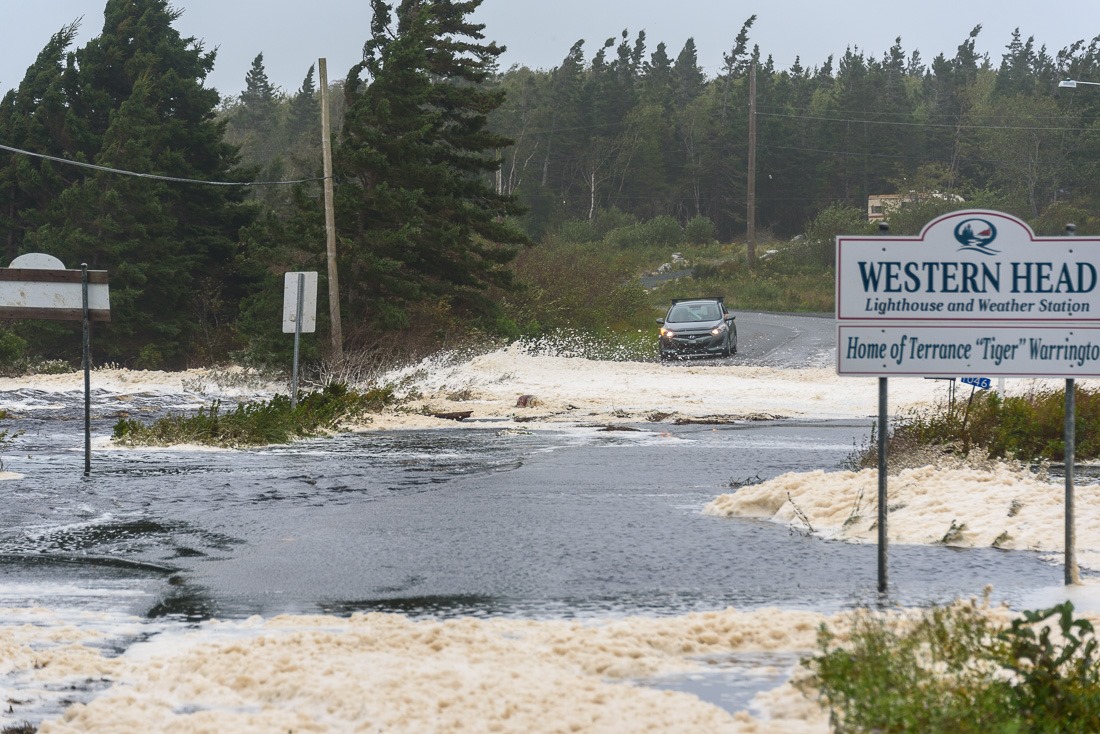
Undermined road
The next stop was a small village close by, still in Liverpool Country, so to speak, called Western Head. The road was flooded and visibly damaged. With sea foam floating and blowing everywhere, I decided to turn around, after some pictures, of course.
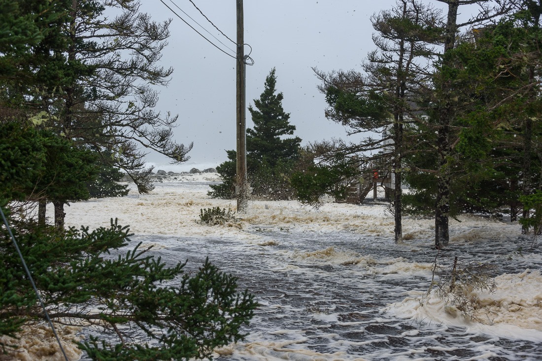
Flooded house
Beside the road was a house that was flooded. It’s in the above picture on the right. Flying through the air was the seafoam. Since the road was blocked at this point, I decided to go around and get to my intended destination (a rocky beach) from the other end of the loop.
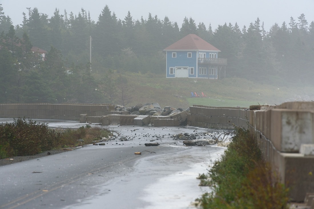
Destroyed Seawall
That turned out to not be possible either. A sea wall was damaged during the night by the waves. And that was the end of my tour around Liverpool and Western Head. The road was blocked, the only way out was back home.
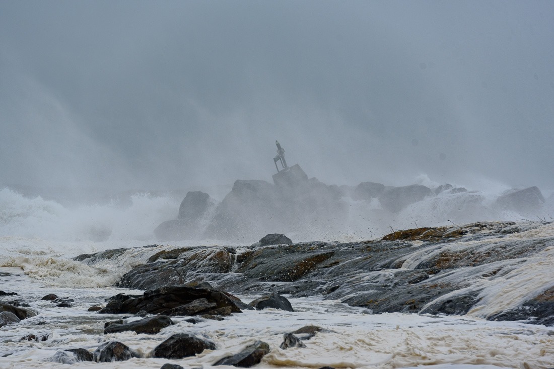
Moose Harbour beacon on the rocks
Going home, I went through Moose Harbour, a few houses and a harbour. Here too, the waves had been doing some housekeeping. The beacon that is usually at the entrance of the harbour was thrown on the rocks.
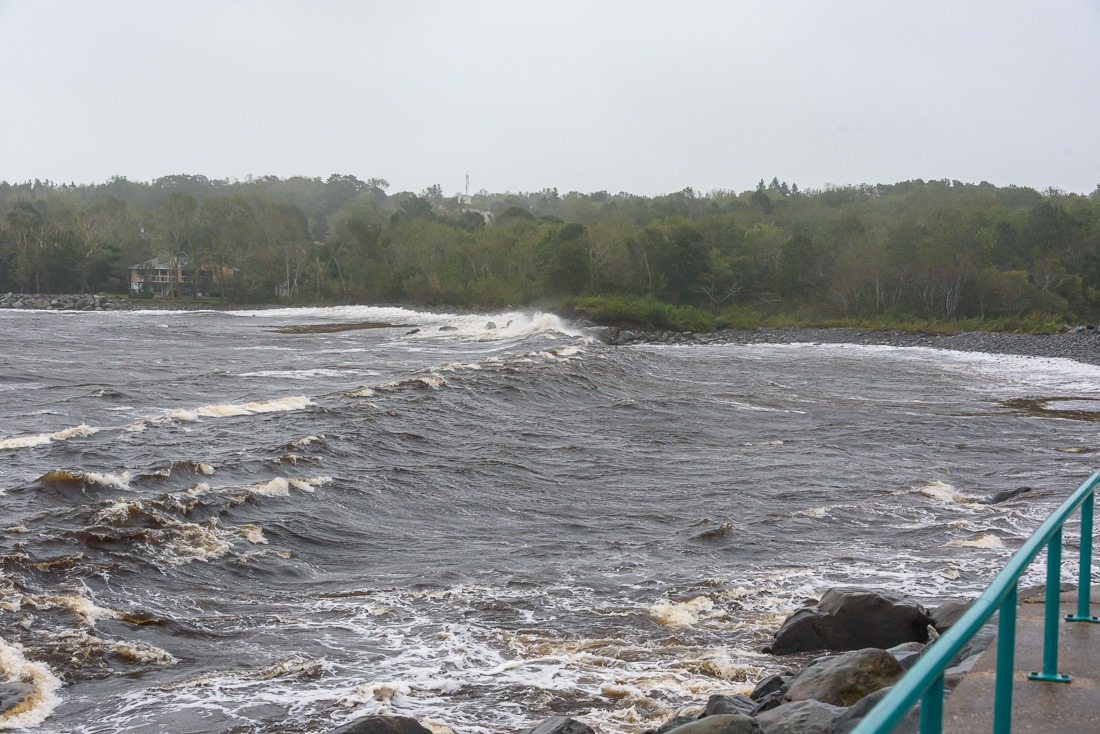
Lighthouse Point, Liverpool
Then I wanted to see the always quiet entry to the town of Liverpool. Lighthouse Point, with a small lighthouse, now decommissioned, guards the harbour of Liverpool. The wave in the above picture was a little bit faster than I imagined and drenched me to the bone. Including my camera. By that time I decided it was time to go home and have a coffee.
Except that without electricity, coffee makers don’t work either. Oh well…
As for the family and the house, the main picture shows the extent of the flooding in the backyard. Concerning, but nothing to worry about. This was as far as it came with a storm surge and high tide together.
Until next time…
